


Description
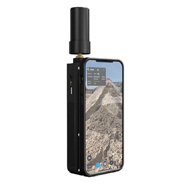
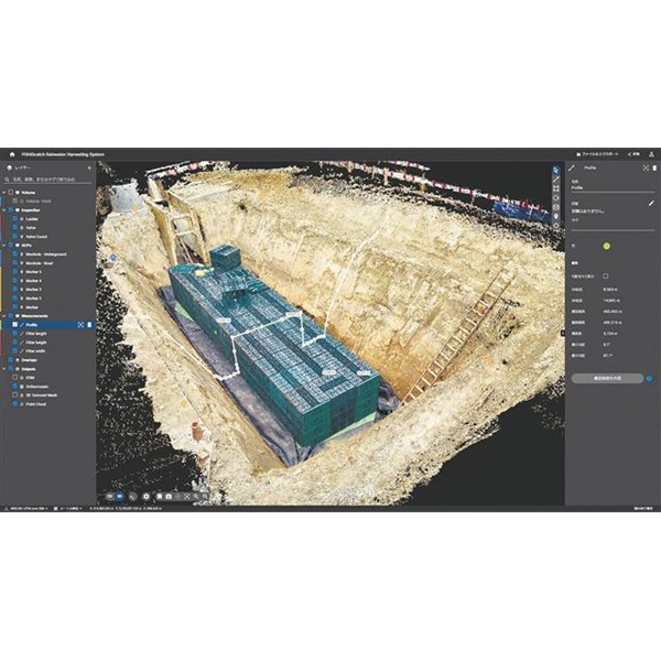
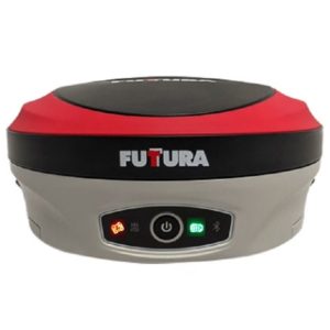
The viDoc RTK rover allows users to perform precise surveying tasks using a mobile device. With easy field-to-finish workflows, Pix4D software simplifies the process of digitalization by measuring single points or creating line work from captured data.
The RTK unit can be used as a network rover collecting single points, or as a lidar scanner collecting thousands of points in the PIX4Dcatch app. ViDoc connects to over 600 channels, including major constellations like GPS, GLONASS, Galileo, and beiDou ensuring convergence in under 5 seconds.
The viDoc rover offers a more affordable, portable, and user-friendly alternative to expensive and technical ground surveying equipment like laser scanners or drones restricted by regulations.
The handheld rover, along with the mobile software, enables anyone to collect points or perform accurate 3D scans with ease, facilitating the creation of digital twins quickly.

Reviews
There are no reviews yet.