

Description
The System
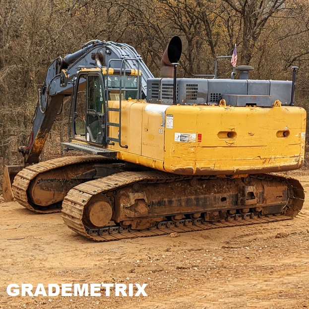
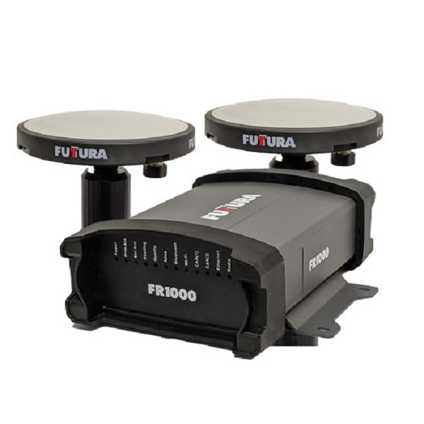
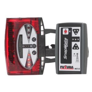
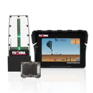
The GradeMetrix FR1000 Excavator GNSS Grade Control System is packed full of industry-leading technology. What makes it so amazing is that it is also the lowest-cost 3D GNSS system on the market. Using the Dual rugged GNSS smart antennas and the FDm1 rugged display, you get RTK-level positioning and precise heading on your large excavator. The typical do-it-yourself installation takes 8 hours to install and calibrate the system.
The versatile GNSS tracks all signals from GPS, GLONASS, Galileo, QZSS, BeiDou, & The L-Band systems. The standard way to receive your base station corrections is through the F631 via the internal radio, however, you can also receive your corrections via the built-in cellular modem, or over NTRIP through an accessible RTK network. The FR1000 supports antenna separations up to 10 meters, offering heading accuracies to 0.01 degrees RMS in addition to RTK position accuracy.
Introducing 2.5D Grade Control
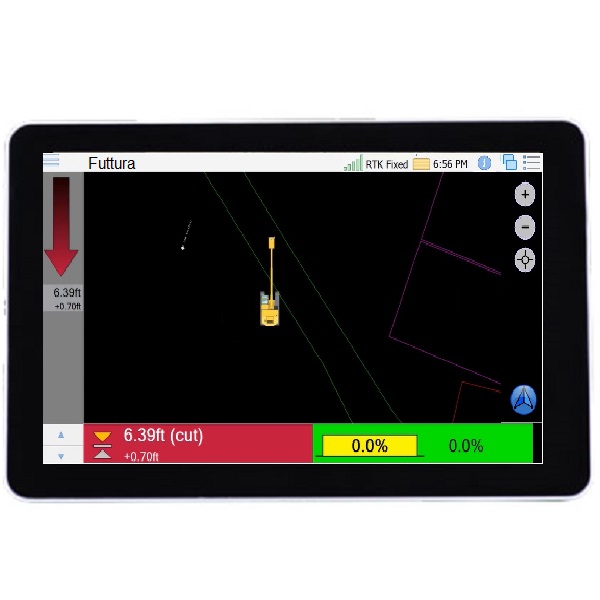
The embedded 2.5D function allows you to use the GNSS guidance technology for a vast array of useful applications without the need for 3D files. Using only a few keystrokes your operator can easily create simple layers, single and dual slopes, trenches, ramps, batters, pads, and even roads just using your GNSS as a reference. No survey points, local transformations, or projections are needed using the 2.5D features.
Complete 3D Operation
If you do require 3D models, then the Futtura GradeMetrix system works seamlessly with your standard surface and background files. Load files via the USB port or through cell via email or whatever online file sharing you prefer. DWG, DXF, TIN, and more.
Visualize the site in real-time, eliminating delays and enabling fast and efficient completion of all site work.
Key Features
- Dynamic cut/fill indication to center or either side of the bucket
- 2D, 2.5D, & 3D operation modes are all standard
- Create trenches, slopes, and layers to match existing or a benchmark height all in the cab within seconds
- Supports tilt buckets
- Multi-frequency GPS/GLONASS/BeiDou/Galileo/QZSS/IRNSS
- Simple user interface with multiple views including plan, profile, cross-section, and more
- Integrated IMU delivers fast start-up times and maintains heading during temporary GNSS outage
- Fully rugged IP69K, and MIL-STD-810G compliant solution for the harshest environments

Reviews
There are no reviews yet.